EM31
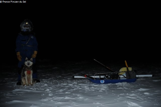
Why are we carrying an electromagnetic icemeter (EM31), every three days, across South Cape Fiord, for about ten kilometres? Answer by Christian Haas, professor of sea ice geophysics at University of Alberta in Edmonton (Canada):
Sea ice in the Canadian Arctic is an important component of the natural environment and human way of life and culture. It is a sensitive indicator of climate change and an obstacle for shipping and offshore operations. In order to better understand the regional and temporal variability of sea ice in the Canadian Archipelago, researchers at the University of Alberta have initiated a sea ice observing project including satellite remote sensing of ice types and developmental stages, and in situ observations of ice thickness. The program aims at repeat ice thickness surveys in the same regions every spring over several years, using electromagnetic thickness sensors towed by snow mobiles, for instance, between and around communities. The measurements in South Cape Fiord significantly contribute to these observations by providing information about the seasonal cycle of ice growth and decay, which provides a temporal context for the surveys across Jones Sound. They can also better reveal the impacts of ocean currents and stratification, as well as weather conditions on ice thicknesses measured in spring. Therefore we will include South Cape Fiord in our planned survey between Resolute Bay and Grise Fiord in May 2012.